As I mentioned in my last post, on Monday I arrived in the capital city of St. John’s and found accommodation right in the city center in a beautifully renovated house. That evening, I went out to explore and walked through a significant part of the old town. This was the first European settlement in North America.

From there, I began my journey back, and to avoid taking the same route, I traveled a longer stretch using the Trans-Canada Trail, which here follows the old railway line. Many sections are navigable by bike or motorcycle, but the part between Millertown Junction and Gaff is heavily overgrown. Since mostly ATVs use it, there are two tracks with loose stones and gravel in the middle. The trees and bushes growing around have strong branches, and one of them threw me off balance. I ended up in the middle and fell, scraping my forearm.

This section is about 30 km long, and I wouldn’t recommend it for motorcycles or bikes. The whole trail in Newfoundland is probably best suited for ATVs or hiking. But I did encounter two young moose here, which I hadn’t seen anywhere else. In its current condition, I wouldn’t recommend biking it to anyone. Locals told me it’s been like this for the past 10 years. Some sections are well maintained, but overall, it’s better to avoid it.

After that, I stuck to asphalt in Deer Lake and arrived in Rocky Harbor, where I stayed in a hostel. I started planning what to do next and noticed that due to wildfire and all the helicopters being occupied, all interesting trails and the entire park outside the main paths were closed. Until further notice, only the easy and short trails are open. So, I visited Tablelands, where you can see the rock peridotite, which is part of the Earth’s mantle and normally lies beneath the surface. Since it contains almost no nutrients, nothing grows there.

On Friday, I left the hostel and headed toward the ferry. On the way, I stopped to see West Brook Pond, which is the end of a glacial valley and looks like something out of Norway. At one spot on the way to the lighthouse near Port au Choix, I saw a herd of caribou. It’s clear they’re used to people because they came right up to me. You’re not supposed to get closer than 30 meters to them, but I didn’t want to back away when they decided to follow me. Then I rushed north because I had booked a ferry for 6 p.m. But when I arrived and saw no ferry, I realized I had bought a ticket for the wrong route — going to the island instead. I asked at the motel next to the terminal, and the receptionist told me they open at 6 a.m., so I decided to give it a try. Online, the next available booking was for Thursday.

On Saturday morning, shortly after six, I arrived at the terminal and was able to buy a ticket for the ferry departing at 8:00. In the end, there were only two of us with motorcycles on board, so there was room for at least four more. On the ferry, I chatted with Ed, who had taken a similar route but was covering about 600 km a day, sometimes more. We said goodbye right on the boat, as I planned more stops and never caught up with him again.

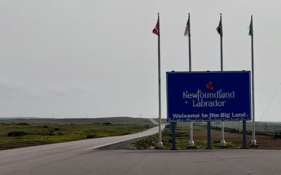
On Sunday, I explored Goose Bay and Happy Valley, which are roughly in the center of Labrador, and visited North West River — the first settlement in Labrador. The Hudson Bay Company store building still stands there. I ended the day with a visit to Churchill Falls. The falls are now limited because of a dam and hydroelectric plant on the river, but you can tell from the riverbed that a lot of water can flow through here. Tomorrow, I should be entering Quebec again.

Photos are in the gallery: https://fotky.kapi.cz/gallery/mGb4ev9e2GwE5GXC_ZkEdYqc
And I’ve just updated the map: https://mapy.com/s/losodeveru
I’m not able to see the map, do I need any special invitation to see it? Thanks.
No, I just realized the link is changing when I update the map. I would then keep the latest link on the newest article. Right now, it is https://mapy.com/s/losodeveru