
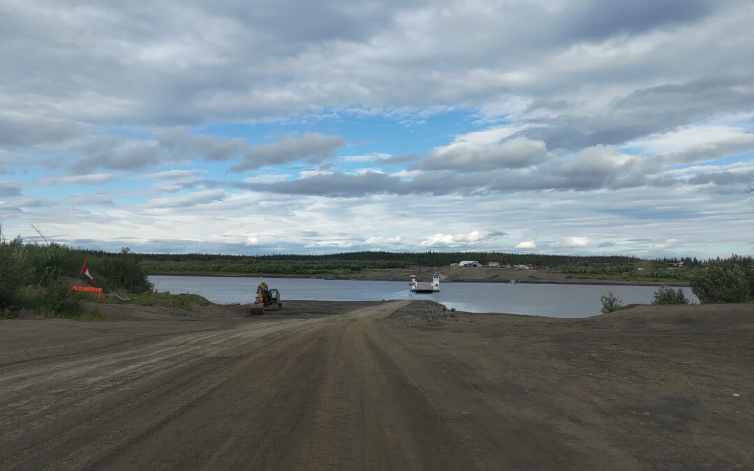
The name Dempster Highway almost makes it sound like a comfortable road north, but the reality is completely different. It is a long gravel road that, depending on the weather, turns either into a dusty line across the tundra or a muddy track. This time, I definitely got more of the second version. There was not much sun, but after a few days the car was completely brown, and in some sections it was clear that this road can challenge even more experienced drivers. Several cars ended up off the road, and on the way back I also passed a water truck that was completely off the road and had probably rolled over.
As I already hinted, the weather was not really on my side, so my planned hikes in the surrounding hills did not work out either. On the way north, I hit heavy rain right from the start, so I more or less just drove through Tombstone Territorial Park. And that is a shame, because it is beautiful. Years ago, I hiked there to Talus Lake, and for a while I considered repeating that trip, but the conditions were against me. I also only passed through Eagle Plains. The motel, campground, and gas station are still there, but I knew I could easily make it to Fort McPherson, where fuel was supposed to be cheaper as well. I arrived there the next day, and it felt strange to see again the place where, years ago, we had spent quite a bit of time by the ferry across the Peel River before we managed to hitchhike back to civilization. We had paddled there by canoe back then, and I still count it among my best travel experiences.
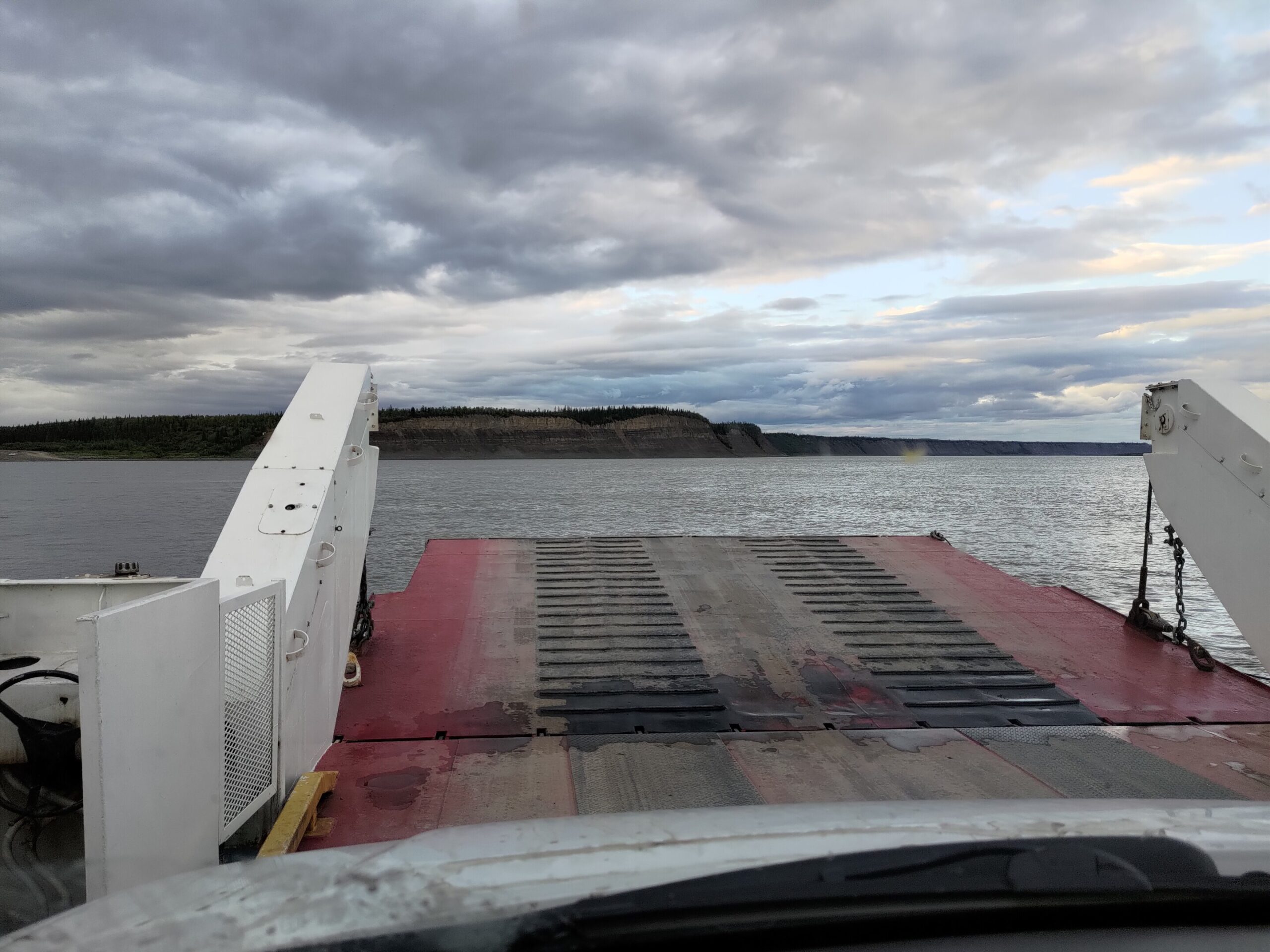
From there, I continued into places that were completely new to me: by ferry across the Mackenzie River, then on to Inuvik, where the Dempster Highway ends, and from there along the Inuvik–Tuktoyaktuk Highway all the way to the ocean. Since 2017, this road has been open year-round to the village of Tuktoyaktuk, or Tuk for short, and therefore all the way to the Arctic Ocean. Before that, you could only get here overland in winter on the ice road; otherwise, it was by boat or by plane. The road from Fort McPherson to Tuk runs through the landscape near the Mackenzie River Delta, and one of the most interesting places in the area is the Pingo Canadian Landmark. I stopped there to see one of the local pingos. At first glance, they look like modest little hills, but in reality they are filled with ground ice and covered with soil, which is typical for areas with permafrost. The name comes from Inuvialuktun and means small hill. According to the information sign, a pingo forms when a lake gradually becomes covered with soil, and the water underneath expands as it freezes, pushing the ground upward. With warming temperatures, however, these formations are also starting to collapse.
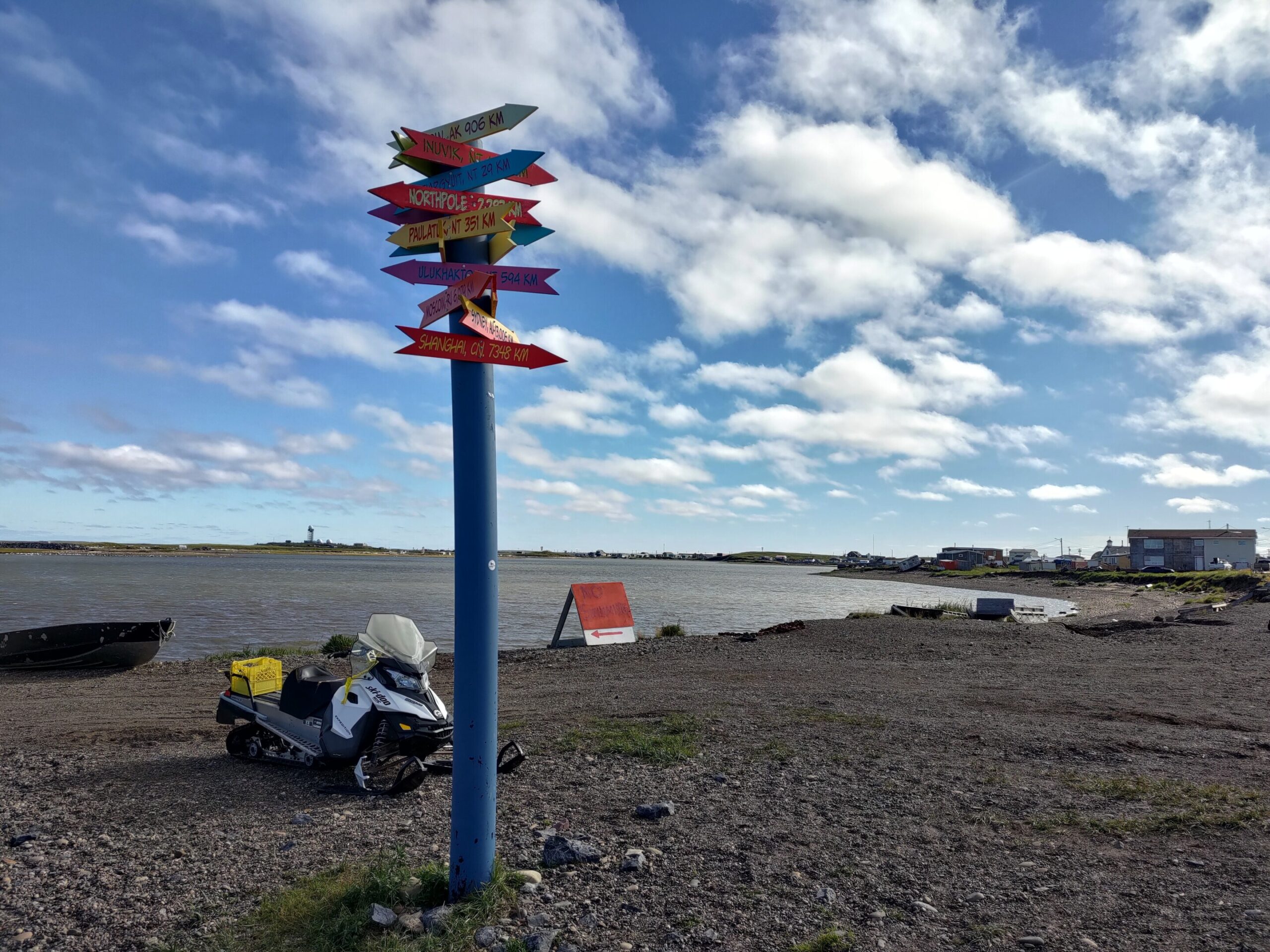
And since I had reached a dream destination for cold-water swimmers everywhere, I naturally had to swim in the ocean — more precisely, in the Beaufort Sea. I would say the water felt roughly like the Atlantic on the coast of Nova Scotia in summer, around 16 degrees Celsius. That honestly surprised me, because I had expected it to be much colder even in summer.
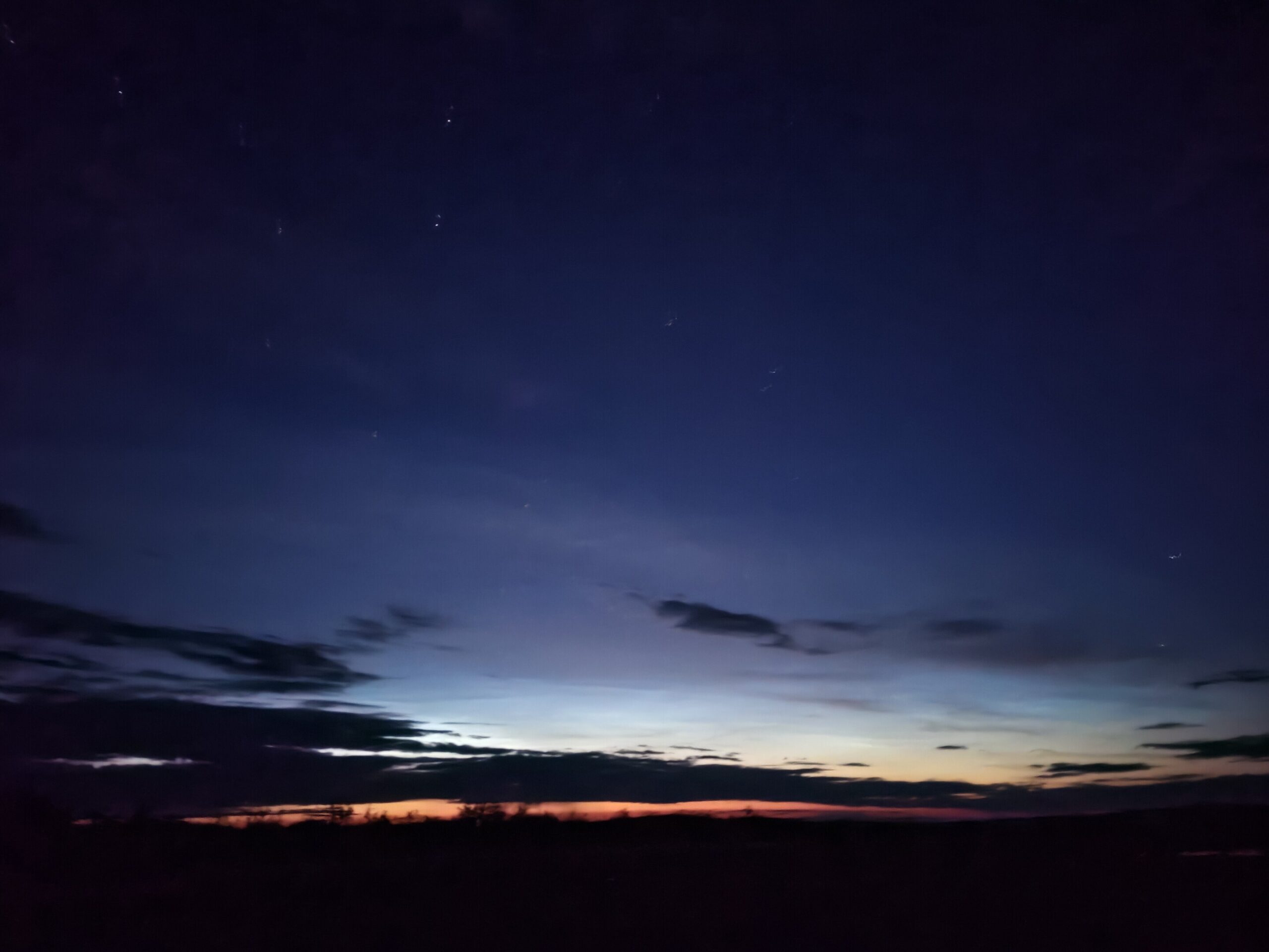
Up here in the north, even now at the end of summer, it stays light for a surprisingly long time. Even in the middle of the night, around 2:30 a.m., there is still a bright strip visible on the horizon. It has its own charm, but it also makes watching the northern lights a bit more difficult. Darkness comes late, and so far the weather has not been on my side either, so I will have to wait a little longer for a proper display of the northern lights.
The whole trip took me about six days. I was working for part of that time, though, so if someone wanted to do it purely as a road trip, it could definitely be done faster.
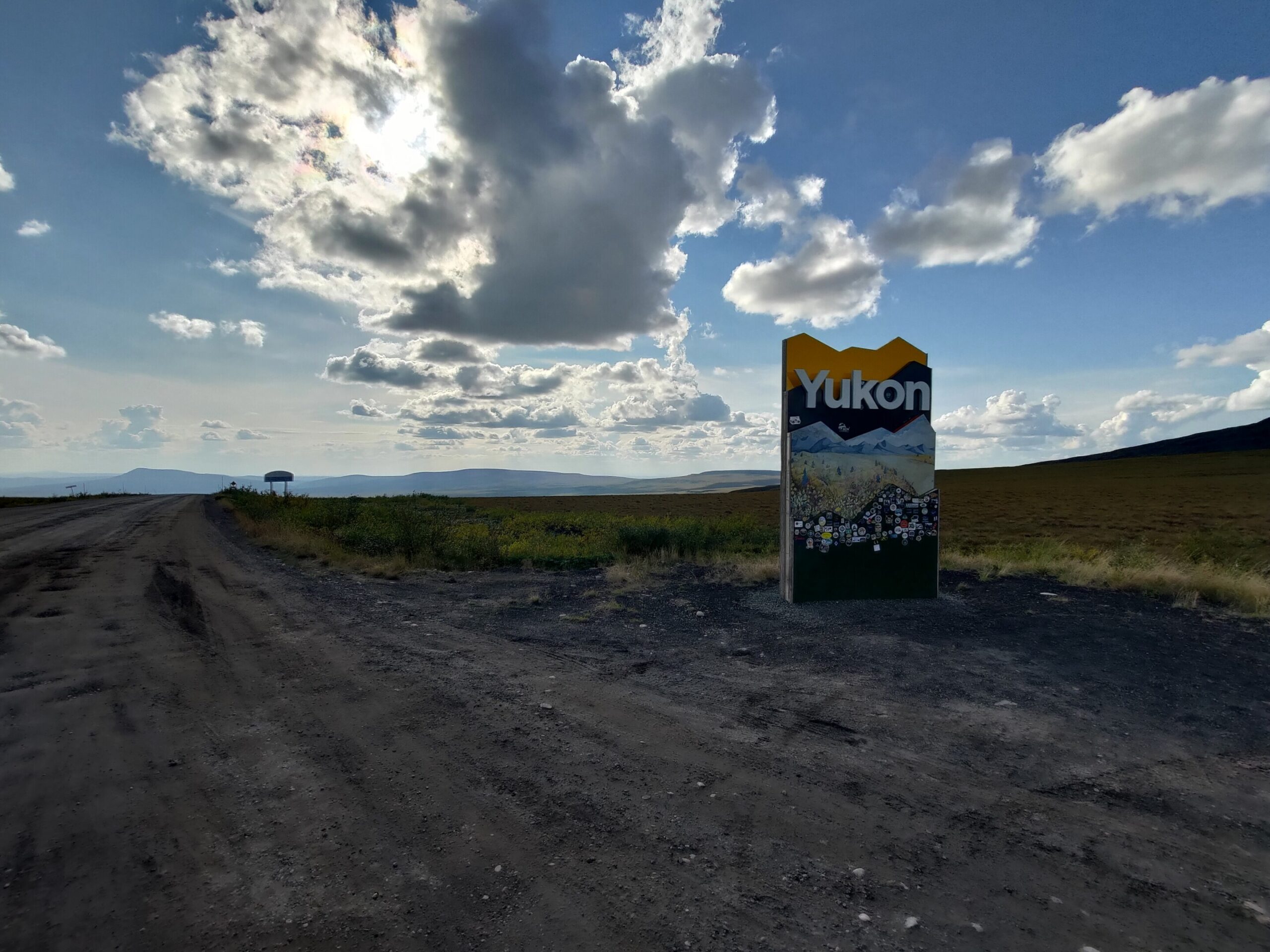
On the way back, I spent a bit more time looking around Inuvik, and at Wright Pass, where the border between Yukon and the Northwest Territories runs, I climbed a mountain that does not have a name on our maps.
Past Eagle Plains, I stopped for a little while to see how the place had changed. The timing of the return worked out nicely for the weekend, and it was raining again in Tombstone, so I eventually continued to Dawson City. First, though, I drove some of the roads around King Solomon Dome and realized that there is still a lot of mining going on here. After a walk through town, I also managed to meet Patrik, whom I had met here 11 years ago. He helped me understand the mining situation a bit better. Today he works at the office that issues mining claims, and he told me there is a lot of interest in them now. When the price of gold is high, mining in the area picks up again much more than before.
If anyone is curious what it looks like here in winter, the YouTuber Foresty Forest drove this route in his minivan a few years ago and made a really nice video: https://youtu.be/263TBNRN4cA. I met him last week in Whitehorse in front of a laundromat, so among other things we talked about that too.
Later, I looked it up and found that six tonnes of gold were mined here in 2024. That is more than the previous year, but still only about 3% of the total amount mined in Canada. Ontario leads this statistic, with almost 80 tonnes, or roughly 40%. And it is true that when I was traveling through northern Ontario, I noticed huge mines where gold is probably being produced as well. Even after returning from the Dempster, I had the feeling that northern Canada can still surprise you – not only with its landscape, but also with what lies beneath it.
Now Mayo and Keno are next on my list, followed by the Canol Road near Ross River, so it seems I’m not quite done with the North yet.