
I have almost covered the first ten thousand kilometers. The cable I had been waiting for arrived as planned, so I could finally set off on the northern route I had not taken before. Before that, I met up with a friend in Ottawa and then headed north toward Val-d’Or. I chose this inland route precisely because I had never driven it before. I did take the main highway between Nipigon, Thunder Bay, and Winnipeg, but after that I turned off again between Lakes Manitoba and Winnipeg toward Prince Albert and Fort Saskatchewan. Along the way, I stopped at a few interesting places, including Frenchman Butte. The museum was already closed when I arrived, so I walked around the area at least and read a bit about the history of the place.

After days on long, straight stretches of road, the journey slowly began to feel different. The landscape started to roll into hills, farms gradually disappeared, and with them the feeling that I was still in the more settled part of Canada. This transition into the northern wilderness was one of the strongest moments of the whole route.
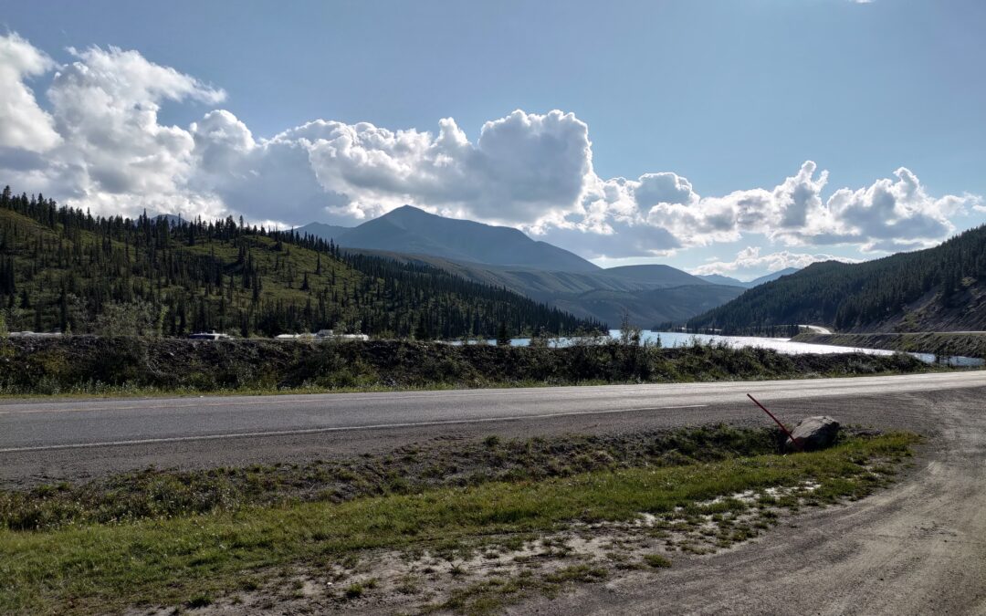
Farther west, mountains and forests gradually began to take over the landscape. After about seven days, I reached Dawson Creek in British Columbia, and the next day I continued toward Liard Hot Springs, the hot springs on the way to Watson Lake. I finally made it there the following day.

That finally brought me back to the Yukon after several years. It was the weekend and I had more time, so I stopped almost everywhere that caught my attention. For the first time, I also visited the waterfalls on the Smith River, which the morning mist made especially beautiful.

I also managed to get in touch with a friend who was in Whitehorse, and we agreed to meet in the evening. I reached the city late in the afternoon, and on Sunday morning I set off by bike for Grey Mountain. I started at Chadburn Lake and pushed the bike uphill onto the road climbing toward the mountain. There is a bike trail there, but it is clearly meant mainly for riding downhill, because I simply could not ride it uphill. The way to the top took me more than two hours, while the ride down took about thirty minutes. Even so, I had to stop several times to let the brakes cool down, and in places I had to clear trees from the trail that had been taken down by beavers.
Overall, the local trails are interesting, but for me they were quite demanding. The bike I have is not exactly ideal for them, and I am not an experienced enough rider to take on everything without thinking twice. Some of the trails have been there for quite a while, the less-used sections are slowly growing in, and there are roots everywhere, so you really have to pay attention. I do have a mountain bike, but this kind of terrain is already close to the limit of what I feel comfortable riding. On some sections, I preferred to get off and walk down instead.
This time, Whitehorse was mainly a short stop for me before the next part of the journey. After the bike ride, some food, and meeting up with my friend, I slowly started getting ready for the road again.
I also went for lunch at Boston Pizza, the same place I had visited eleven years earlier after ending up alone in Whitehorse, doing laundry, and buying groceries. By evening, I was leaving the city again. Today I am stopping at the beginning of the Dempster Highway.
I already know part of the road as far as Fort McPherson from the time when we hitchhiked back from there toward civilization. This time, though, I would like to continue farther and cover the full 886 kilometers all the way to the Beaufort Sea, or rather the Arctic Ocean, to the Inuit village of Tuktoyaktuk. The entire route is gravel, and its quality varies quite a bit, so I am counting on two to three days on the road. More about this adventure next time.